ZONE ONE - THE DRY GROUND
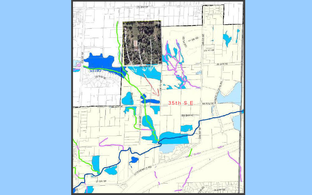
The city's surface water flow map from prior to 2007
The Zone 1 properties we overlayed (small photo clip) for orientation.
This image was created years ago in our efforts for zoning resolve.
Note the location of 35th Ave S.E. and that blue surface water indicated
that flows to 236th S.E. - more detail HERE and HERE
HELP * Use your Backspace key/return function to revisit a map/page.
* For desktop/laptop users - Place cursor over emboldened text, colored
and/or underlined, for explanations.
|