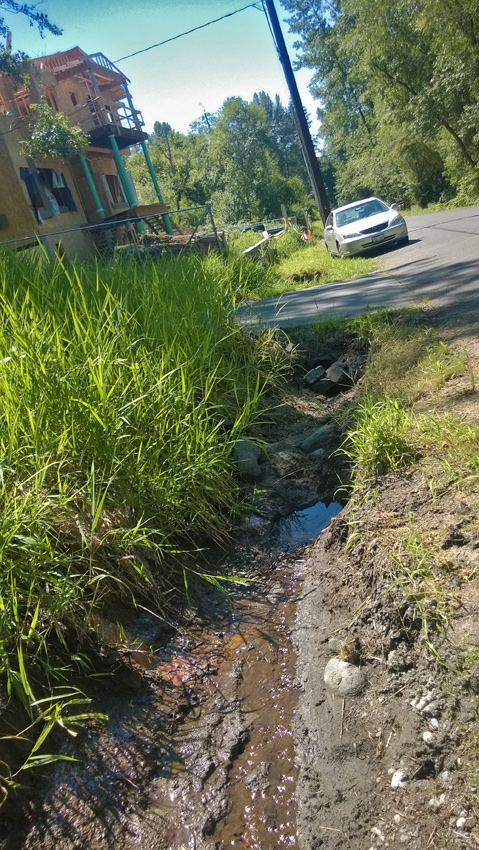
Note that the two images above, photo was taken 7.21.2016, are also facing south
toward new home construction, the direction of the water flow. This is the bulk
of the out flow from the seam noted below. This flow rarely ever changed other
than the drought of summer, 2015. This year we have experienced record rainfall
and adequate snow pack.
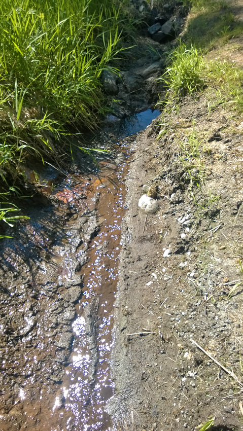
Yes, that is an extremely small amount of water from the shallow aquifer.
The bulk of the outflow from the shallow aquifer seam that is up slope east
approximately 400 feet from 39th Ave S.E. is simply evident by observation from
the road, 39th Ave S.E.. The city of Bothell recently sent crews out to clean the
drainage ditch along the east side of the roadway and also sucked out the debris
from the culverts. With casual observation anyone can see the scant amount of
water coming out of the property to the east of the drainage ditch.
But most importantly, aside from the tiny amount of water produced, one
notices that the water is traveling south. South is the opposite direction from
Cole Creek. Cole Creek runs down from the north beyond the city limits, in
Snohomish county, and turns west to travel under 35th Ave S.E. and on to North
Creek. That's one of the three creeks that make up the Critical Species Habitat
fishery.
Zone 1 water travels south and under 39th, four culverts, one culvert recently
discovered with the city's work ditch cleaning. Joined with rain storm event
water it is trapped by the drainage ditch on 236 Ave S.E. flowing down west to
35th Ave S.E. where it immediately turns south down the east side of 35th and
flows under 240th Ave S.E. continuing south all completely away from, not to
Cole Creek or any of the fishery's three creeks.
Having gathered the outflow seeps that for an irrigation pond I tested
continually and monitored the water produced, and at best, the entire
collection in the heaviest snow pack years was less than 10 gallons per minute. A
lot of work and expense went into gathering that resource and didn't supply but
a part of the water necessary to grow the orchard crop. More information HERE
The course of the water after leaving the culverts is described HERE and HERE.
Zone 1 is part of the Fitzgerald subarea not because of its nature but by
association-inclusion as the east most city limits. If Zone 1 had been tested,
studies done, with the original BAS, best available science, years earlier this
fact would have been treated fairly. Note private funded PIT TESTS left in the
navigation sidebar under *MAPS*.
HELP * Use your Backspace key/return function to revisit a map/page.
|